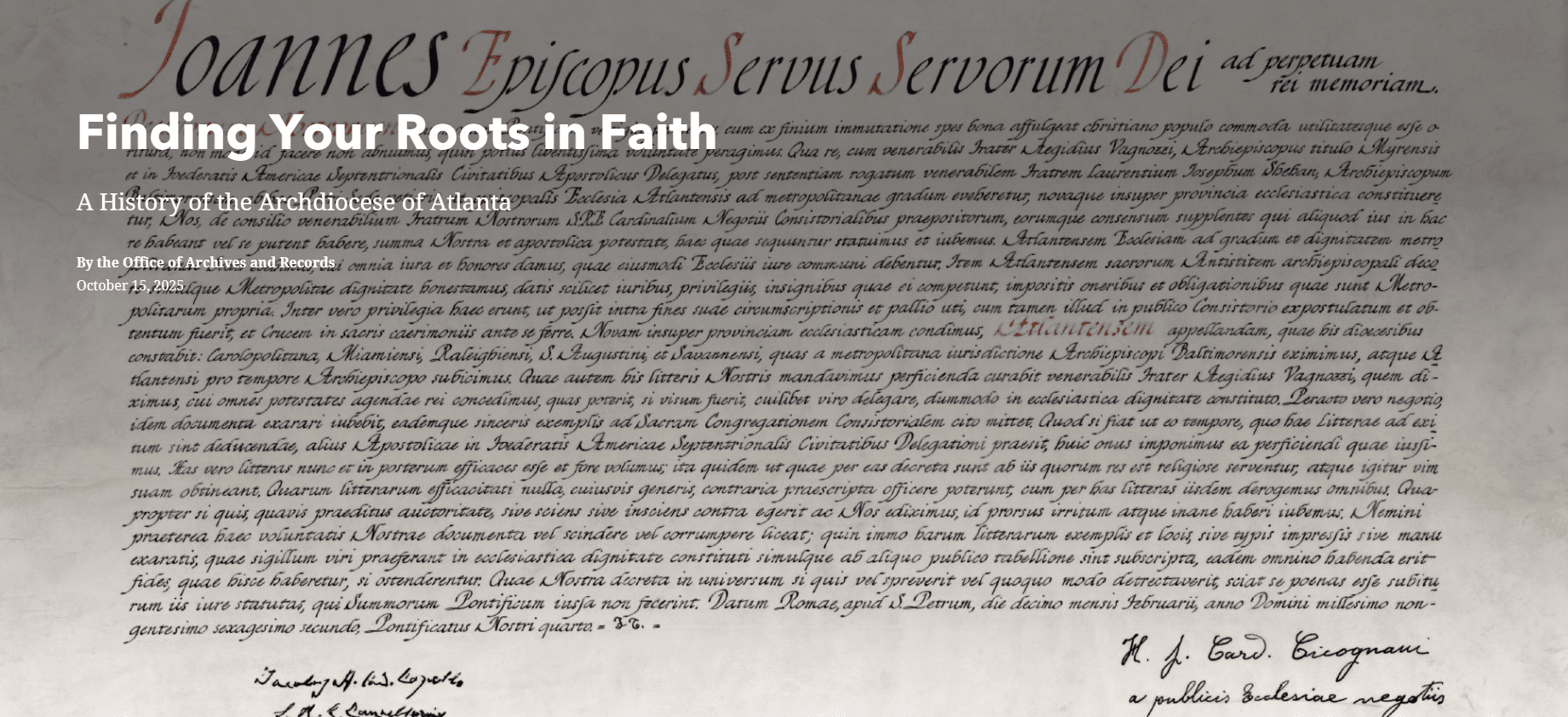
The Office of Archives and Records has designed an interactive StoryMap to be an immersive history of our Catholic community’s unique experiences. We invite you to scroll through the historical narrative of each decade, while witnessing the geographical growth of our parishes, missions, and schools as they appear on the map. Each parish and mission is represented by a dot, while each school is represented by a square. Both are color coded by the decade in which they were established. Click on parish or mission dots or on school squares to read brief histories and see historic photos of the locations. You can also click on any underlined words in the narrative that link to videos or photos straight from our archives. As our community and archival material grow we will continue to add to our StoryMap, making it a living testament to our experiences and our faith.
You can access the StoryMap from any device! It’s fully functional on a computer, tablet, or mobile phone. On a computer, scroll through the narrative sections on the left side, which automatically changes the visual features on the right side. On mobile phones and tablets, scroll up slightly in each section to show the map or historic image(s) relevant to that section.


